
Morenci Mine
Safford Mine (Lone Star District)
Leaflet © OpenStreetMap contributors
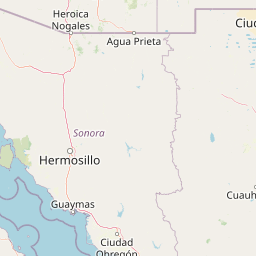
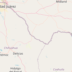
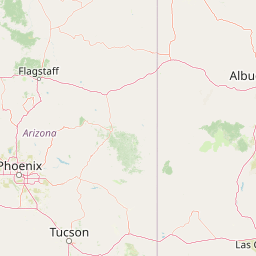
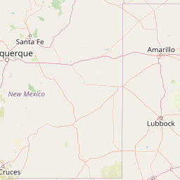
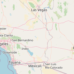
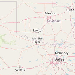
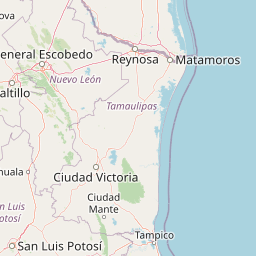
The points on this map are target coordinates produced by GeoVENA, a proprietary predictive targeting system. Each target is shown with its nearest known copper mine and the distance between them.
In this Arizona run, the targets land directly on known copper mining areas: Morenci, Safford (Lone Star District), and Courtland. Courtland is shown in a separate map section because of the geographic distance.
These maps provide geographic validation against documented mine locations, with mine names marked directly on the maps.
Every target is produced through a systematic, repeatable computational process.
The four additional GeoVENA target coordinates are shown geographically against the known Courtland area copper mine location. The connecting lines show the supplied distance from each target to the mine.